≡ Menu

Bratwurst Trailhead, Eagle Cliff Trails, Black Hills National Forest

Just the other day I went snowshoeing at Eagle Cliff Trails.  I hadn’t been there in 7 years and I know I won’t wait that long to go again.  Eagle Cliff Trails is a great place for a choose-your-own-outdoor-adventure.

These trails were built in the 1980’s by Black Hills cross-country ski enthusiasts.  There are 21 trails in the system for an almost endless combination of adventures.  Although the trails were built with cross-country skiing in mind the trails are now enjoyed by hikers, mountain bikers, horse-back riders and snowshoers.


Trailheads

  • Dead Ox– this is the first trailhead you’ll arrive at if you head south from Cheyenne Crossing on US Hwy 85.  This is on private land and is a starting point for cross-country skiing.
  • Raddick -  This is the second trailhead you’ll see as you travel south on US Hwy 85.  It is not marked very well, so you may drive right past it.  This only has access to the cross-country ski trail.
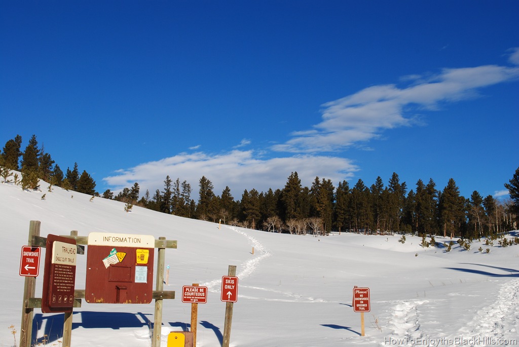
  • Bratwurst  – Pictured above.  This is the trailhead you’ll most likely want to use.  It has a large parking lot and snowshoe trails leave from both the left and right sides of here.  You also have access to the groomed Bratwurst Ski Trail.  Bratwurst trailhead is about 7.5 miles south of Cheyenne Crossing(the intersection of Hwy 14A/Spearfish canyon and US Hwy 85).
  • Lily Park  – This trail head has limited parking.  There is access to just one snowshoe trail that will lead to bratwurst trailhead.  You can also reach the groomed ski trail from here.
  • Sunny Meadow – This is where you’ll find the most flat portions of the trail.  No snowshoe trails here, just groomed ski trail.

Enjoying the trails in the winterEagle Cliff Snowshoe Trail
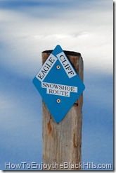
This area provides some of the best cross-country skiing and snowshoeing in the Black Hills.  However, these two sports can’t share the same trails.  Snowshoe tracks on a groomed ski trail make it difficult to ski.

Fortunately, the trails are well marked and it appears that there will be more snowshoe trails added in the future.

More Information and Trails

I always carry my well worn copy of Exploring the Black Hills and Badlands: A Guide for Hikers, Cross-Country Skiers, & Mountain Bikers with me.  It has really great maps and excellent directions.

Maps are available at the trailheads and some local businesses.  The Black Hills National Forest website also has maps of Eagle Cliff Trails and other Black Hills trails.

Other snowshoeing trails in the area I recommend are Old Baldy, Englewood Trailhead and Iron Creek in Spearfish Canyon.

What is your favorite trail at Eagle Cliff?

{ 6 comments }
Mickelson Trail Englewood Trailhead Black Hills

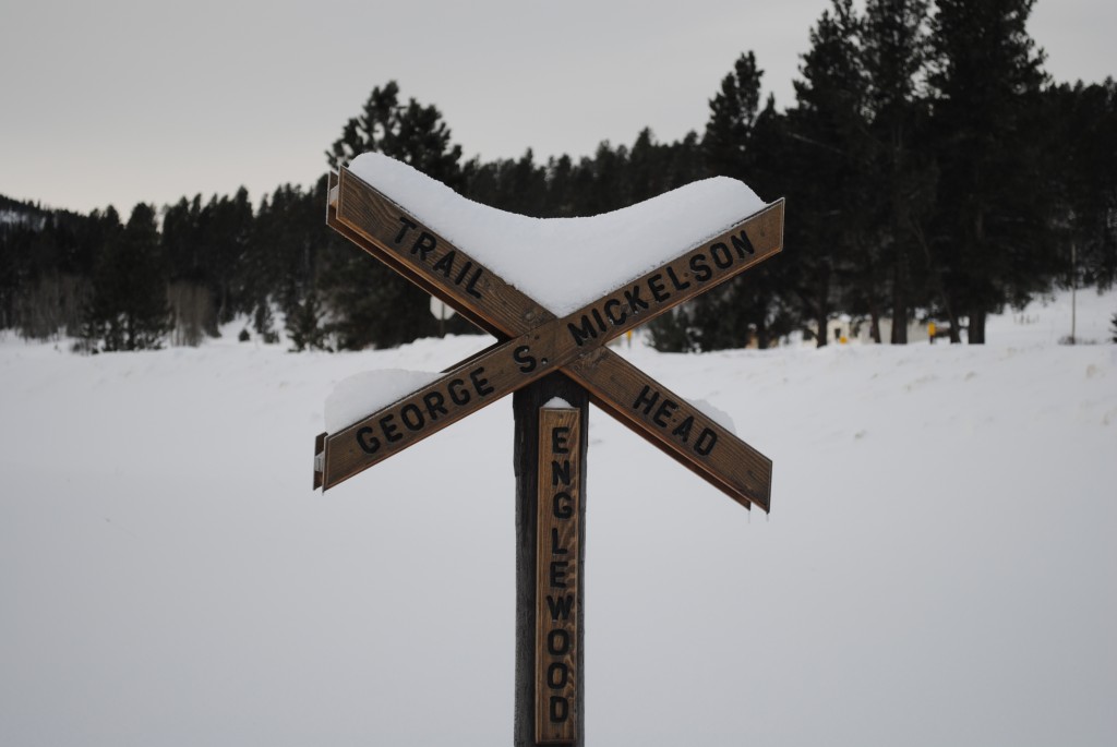
Englewood Trailhead, George S. Mickelson Trail


At mile 98.5 of the Mickelson Trail is the Englewood Trailhead.  This location was originally called the Ten-mile Ranch and was a stop for the stagecoach, but the name was changed when the railroad came through.

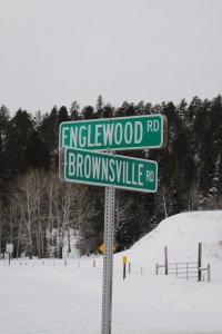
on the corner of  Englewood and Brownsville

Easy to find


At one time, it was a busy little railroad location.  There was a roundhouse, depot, water tower and rail yard.  Some of the old foundations still exsist, but you’ll have to wait until spring to see those.

Englewood is a great place to do some Black Hills snowshoeing.  No motorized traffic is allowed for about a mile on either side of the trailhead.

How do you get to the Englewood Trailhead?

From Lead, head south on US Hwy 85.  Turn left on Rochford road, after about 1 mile turn left on Brownsville road.  You’ll find the trail head about a mile down the road.

From US Hwy 385, turn west onto Brownsville road (it is the road right by “Boondocks”).  Keep going about 6 miles until you see the trailhead at the corner of Englewood and Brownsville roads.


How to get started in snowshoeing in the Black Hills?

It has been said if you can walk you can snowshoe, and for the most part that is correct.  It takes some getting used to but it is as simple as walking.  However, don’t be surprised if your legs a little sore the next day.

You don’t have to buy snowshoes to get started in the Black Hills.  The Lead office of the South Dakota Game, Fish and Parks offers free day use of snowshoes.  Their contact information is on their website.  Also, remember that you must purchase a pass to use the Mickelson Trail, you can purchase the pass  at the trailhead or online.

Do you want to buy your own gear?  You can buy snowshoes online and usually find a good pair of snowshoes for under $100.  My recommendations would be: make sure the binding is adjustable and a set of telescoping poles are handy (but any ski poles will do).  I’ve had real good luck with both Redfeather Snowshoes and Yukon Charlies Snowshoes, but any modern snowshoe should more than meet your needs.

Where else can you snowshoe in the Black Hills?

You can snowshoe basically anywhere there is snow cover.  I snowshoe in my neighborhood after a fresh snow and on any trail that I hike in the summer.  Iron Creek in Spearfish Canyon is a beautiful trail close to Spearfish.  Eagle Cliff and Old Baldy are trails I hope to snowshoe soon.  The Black Hills National Forest website has maps of more snowshoeing and cross-country skiing trails in the Black Hills.  Be sure to avoid snowshoeing on groomed cross-country ski trails.

Where have you been snowshoeing this winter?

{ 7 comments }

Terry Peak

terry peak the black hills

Terry Peak


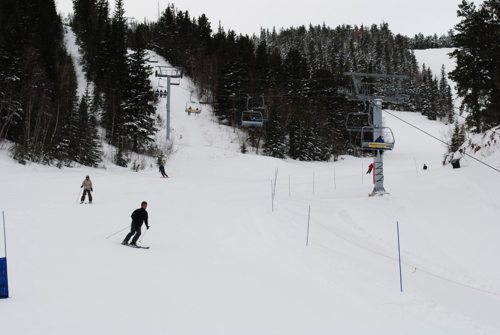
Terry Peak has 450 skiable acres and 1,100 ft change in elevation, giving you plenty of opportunities for fun in the snow.  Terry Peak opened in 1938 and has evolved to South Dakota’s largest ski area.  The mountain is home to two high-speed chairlifts and a terrain park.

There are  two day lodges, Stewart Lodge and Nevada Gulch Lodge.  Stewart Lodge is the full service lodge with the Stewart Lodge Cafe and Bald Mountain bar upstairs and on the main level you’ll find rentals and lift ticket sales.  The Nevada Gulch Lodge has the Dark Horse Saloon, plus you can buy your lift ticket there too.


How do you get to Terry Peak?

Just head south out of Lead on US Hwy 85, turn on the Nevada Gulch road about a mile outside of Lead and follow the signs.

Visit their website for more information.

{ 2 comments }